
| Distance: | No data |
| Minimum elevation: | No data |
| Maximum elevation: | No data |
| Elevation gain (~): | No data |
| Elevation loss (~): | No data |
| Duration: | No data |

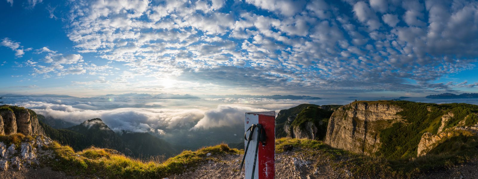
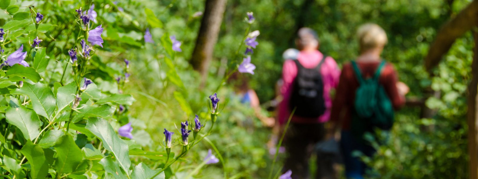
The trail begins just opposite the Hotel Winzerhof, leads over the gravel road and runs alongside the Höllental River. Rows of grape vines line the trail immediately to the right. Shortly, we arrive in front of the enormous limestone boulder with the shrine of St. Nepomuk. This rock was brought here by a particularly violent mudslide, a constant reminder of the elemental force of nature. The next information board illustrates the mudslide of 1986, and refers visitors to the Hoamet Tramin Museum for more information on this event. A panoramic view illustrates the layers of rock from Montan to the Weisshorn and the Schwarzhorn. Once again, we pass by a beautiful stone: A Voltago conglomerate, also left here by a mudslide, and created 245 million years ago. A peaceful spot with 5 pillars and a semi-circular bench, packed with descriptions of the types of stone in the area, is a wonderful place to stop off for a break. At the dam wall, a blackboard details the layer sequence of the mighty outcrop opposite us. The final panel illustrates the variety of fossils hidden in the layers; if you’re lucky, you might also find some in the river bed.
Walking time: approx. 30 minutes
The trail can be extended if you follow the no.10 signposts to the Gummererhof farm, then turn left onto trail no. 4 to the Zogglerwiese meadows and return via Söll and along the nature trail to Tramin.
| Distance: | No data |
| Minimum elevation: | No data |
| Maximum elevation: | No data |
| Elevation gain (~): | No data |
| Elevation loss (~): | No data |
| Duration: | No data |
Accommodation in Tramin
Ads
 Goldene Traube, Panorama & Überbacherhof. B&B, apart., re...
 Vineus. New! Appartments, suites and rooms
 Rebenheim. New rooms and new breakfast room
 Finkenhof. Come in, relax, enjoy the silence!
 Hotel Pernhof. Suites & Apartments, restaurant, sauna
 Langenmantel & Gartenheim. Quiet, central, breakfast under vi...
Available accommodation